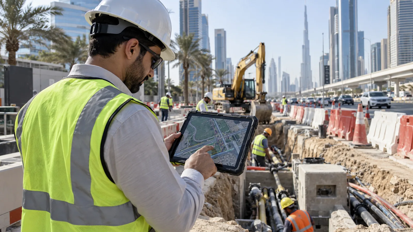
AI and Esri integration connects models, imagery, field observations and spatial context so teams can prioritise work rather than inspect isolated records. The design must define authoritative layers, model inputs, confidence, human review, publishing, data lineage and operational ownership. Swedish Technology can map a GeoAI workflow to ArcGIS services, dashboards, field apps and governance without treating a model score as an unquestioned decision.
Swedish Technology connects AI and Esri ArcGIS integration to governed data, human decisions, secure integration and measurable operations.
What problem does this solve?
AI results without spatial context are difficult to prioritise and verify in field operations.
Maps can display model outputs without recording model version, confidence, source imagery or reviewer decision.
A pilot may work in a notebook while the ArcGIS publishing, security and update process remains undefined.
How the solution works
Define the spatial data, model, review and publishing boundaries.
Record confidence, lineage, model version and human decision with the result.
Connect approved outputs to ArcGIS maps, dashboards, field workflows and operational systems.
- 1Scope Define the business decision, data owner, users and AI and Esri ArcGIS integration boundary.
- 2Map Document identities, sources, permissions, data quality, time and exception states.
- 3Design Separate model, integration, human review, security and transaction controls.
- 4Pilot Test representative data, failures, users and approved actions with evidence.
- 5Operate Handover monitoring, evaluation, support, change and lifecycle ownership.

Reference architecture
The reference architecture for AI and Esri ArcGIS Integration for GeoAI Workflows separates source systems, AI or location processing, human review, approved actions and operating governance.
| Layer | What it contains |
|---|---|
| Source layer | Authoritative records, documents, sensors, imagery, video, location or transaction data. |
| AI and event layer | Retrieval, model inference, filtering, confidence, lineage, buffering and exception handling. |
| Decision layer | Human review, approvals, workflow, system-of-record transaction and rollback. |
| Operations layer | Identity, security, monitoring, evaluation, support and lifecycle control. |
Deployment options: Deploy on-premise, edge, private cloud or approved public cloud according to data residency, connectivity, security and operating requirements.
Key capabilities
Integrations
Integration should preserve source ownership, permissions, evidence, human review and the approved system-of-record action.
| System | Integration point & data exchanged | Direction |
|---|---|---|
| ERP/EAM/GIS | Keep authoritative objects and approved transactions in the owning system. → Computer Vision for Government Operations | bi-directional |
| API and middleware | Control identity, schemas, retries, permissions and observability. → ArcGIS RTLS & RFID Integration: Live Location in GIS | bi-directional |
| BI and operations | Expose confidence, quality, exceptions, usage and business outcomes. → RFID Event Data Architecture: Identity, Time, Zone and Confidence | bi-directional |
Industry use cases
Government
Prioritise inspections, permits, incidents or infrastructure risk.
Utilities
Combine asset layers, sensor data and predictive signals.
Transport
Use imagery and spatial models to plan road and corridor work.
UAE & GCC considerations
For UAE and GCC projects, confirm data residency, Arabic/English operating needs, identity and access controls, network segmentation, AI governance, local support, procurement evidence and handover obligations before deployment.
Implementation approach
- 1Scope Define the business decision, data owner, users and AI and Esri ArcGIS integration boundary.
- 2Map Document identities, sources, permissions, data quality, time and exception states.
- 3Design Separate model, integration, human review, security and transaction controls.
- 4Pilot Test representative data, failures, users and approved actions with evidence.
- 5Operate Handover monitoring, evaluation, support, change and lifecycle ownership.
Security & deployment
Use least-privilege identities, segmented services, protected secrets, approved data boundaries, audit logs, model or rule versioning, human escalation and controlled configuration backups.
Limitations & prerequisites
- An integration page cannot replace representative data and user testing.
- Model or location quality depends on source data, context, environment and operating discipline.
- Vendor feature, API, model and deployment availability must be verified before quotation.
- AI output or location signal does not automatically authorise a business transaction.
Decision view for AI and Esri ArcGIS Integration for GeoAI Workflows
The correct pattern depends on the decision, data, consequence, integration and lifecycle—not on a model label alone.
| Decision | Starting point | Validation needed |
|---|---|---|
| Business outcome | Define the decision and owner | Approved acceptance case |
| Data | Identify source and quality | Representative data test |
| Automation | Start with review and controls | Action and rollback test |
| Commercial step | Preliminary architecture | PoC, integration or quotation |
Treat every recommendation as preliminary until assumptions, evidence and ownership are reviewed together.
FAQ
It can classify, predict or prioritise spatial information while ArcGIS provides location, context and operational workflows.
Not always; confidence thresholds, human review and the consequence of an incorrect result should determine publishing.
Store source data, model version, run time, confidence, reviewer and output status with the spatial result.
Yes, when the field workflow captures the correction and feeds an approved improvement process.
No. Deployment can be cloud, private cloud, on-premise or edge according to data, connectivity and security.
Spatial accuracy, review effort, workflow value, update path, integration, security and operational ownership.
Need help connecting AI to enterprise systems?
Share the systems, data, users and decision to improve. We will identify the evidence needed for architecture, PoC, integration or quotation.
Request an AI Integration AssessmentSources & evidence
- Esri developer documentation — Official ArcGIS developer reference.
- SAP artificial intelligence — Official SAP AI product context.
- Oracle artificial intelligence — Official Oracle AI context.
- NIST AI Risk Management Framework — AI governance and risk context.
Vendor and product names are trademarks of their respective owners; references are for technical context and do not imply partnership, certification or endorsement unless stated on the vendor's official pages.