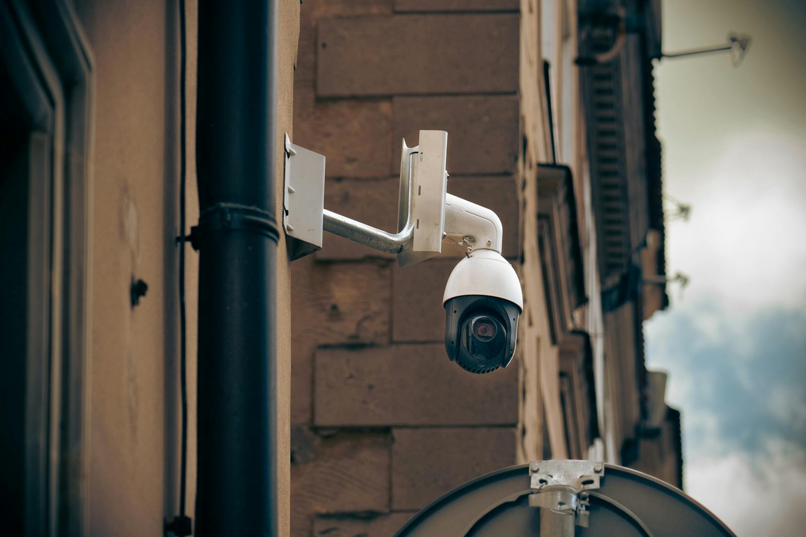
RASM Operational Digital Twin Platform for Buildings, Warehouses & Cities
A live model of the building, not a drawing of it.
RASM binds BIM geometry, GIS context and live sensor data into a single twin, so facilities, planning and response teams work from current state rather than the as-designed drawing set.
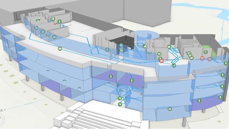
RASM Operational Digital Twin
RASM brings spaces, assets and selected operational events into a shared 2D/3D view. It connects a spatial model with available BIM, GIS, IoT, RFID, RTLS, building-management and maintenance data so users can locate an issue, see its context and decide what action should follow.
The model is useful when it supports an operating workflow. A project should define data sources, asset identities, update frequency, user roles and actions before the model is configured. Final connectors and live-data behaviour depend on source systems and project scope.
Core RASM capabilities
2D & 3D Operational View
Place buildings, floors, spaces and selected assets in a navigable spatial context.
BIM & GIS Context
Relate model geometry to maps, asset records and location layers available to the project.
Asset & Space Registry
Connect approved asset identifiers and space hierarchies to operational records.
IoT & BMS Data
Display selected telemetry or building-system status when source interfaces are available.
RFID & RTLS Events
Show configured presence or location events in the relevant building or site context.
Operational Workflows
Link an event to inspection, maintenance or incident workflows where the connected system supports it.
Dashboards & History
Review selected operational indicators and event history against model locations.
Access & Governance
Set user roles, data boundaries and audit requirements during solution design.
GIS data that can support the twin
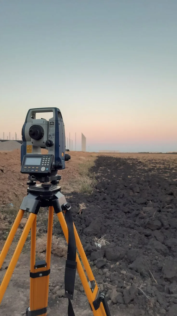
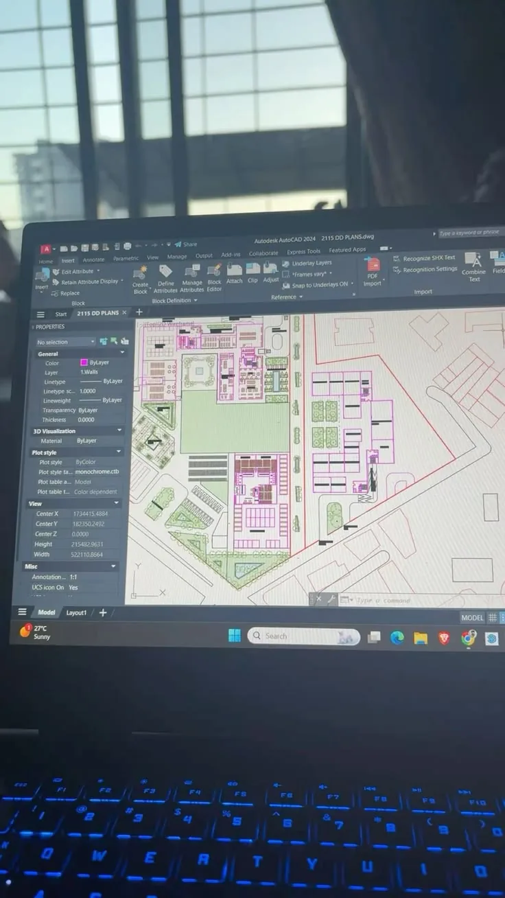
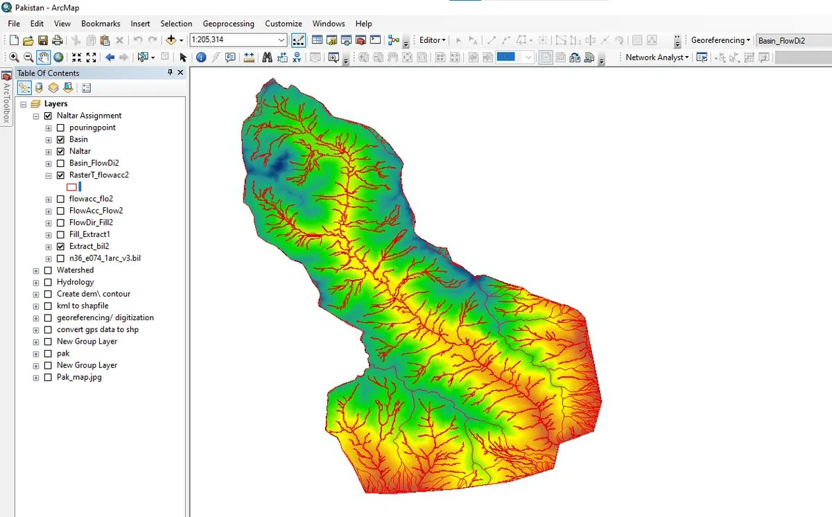
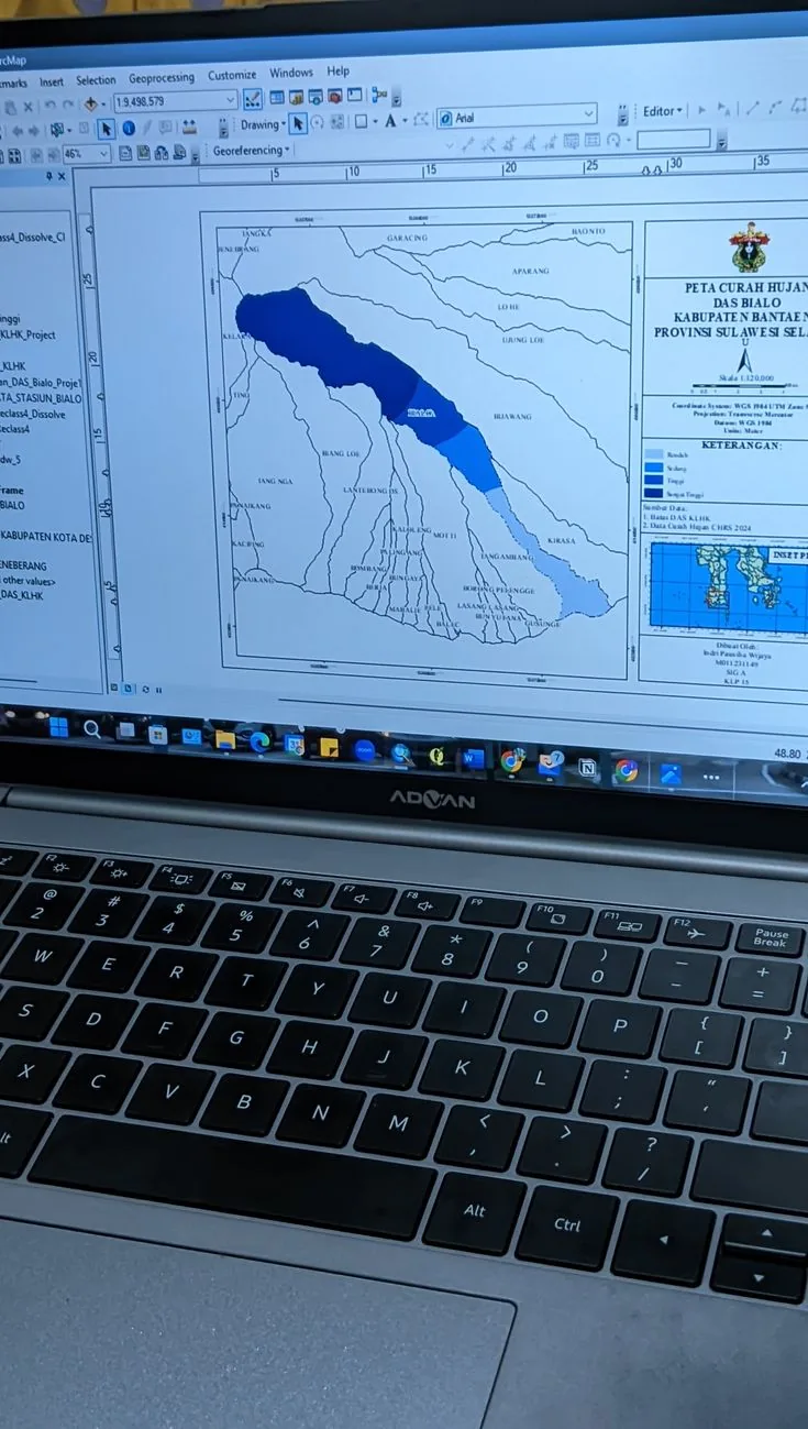
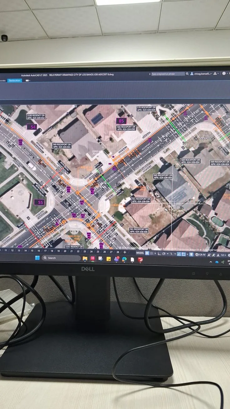
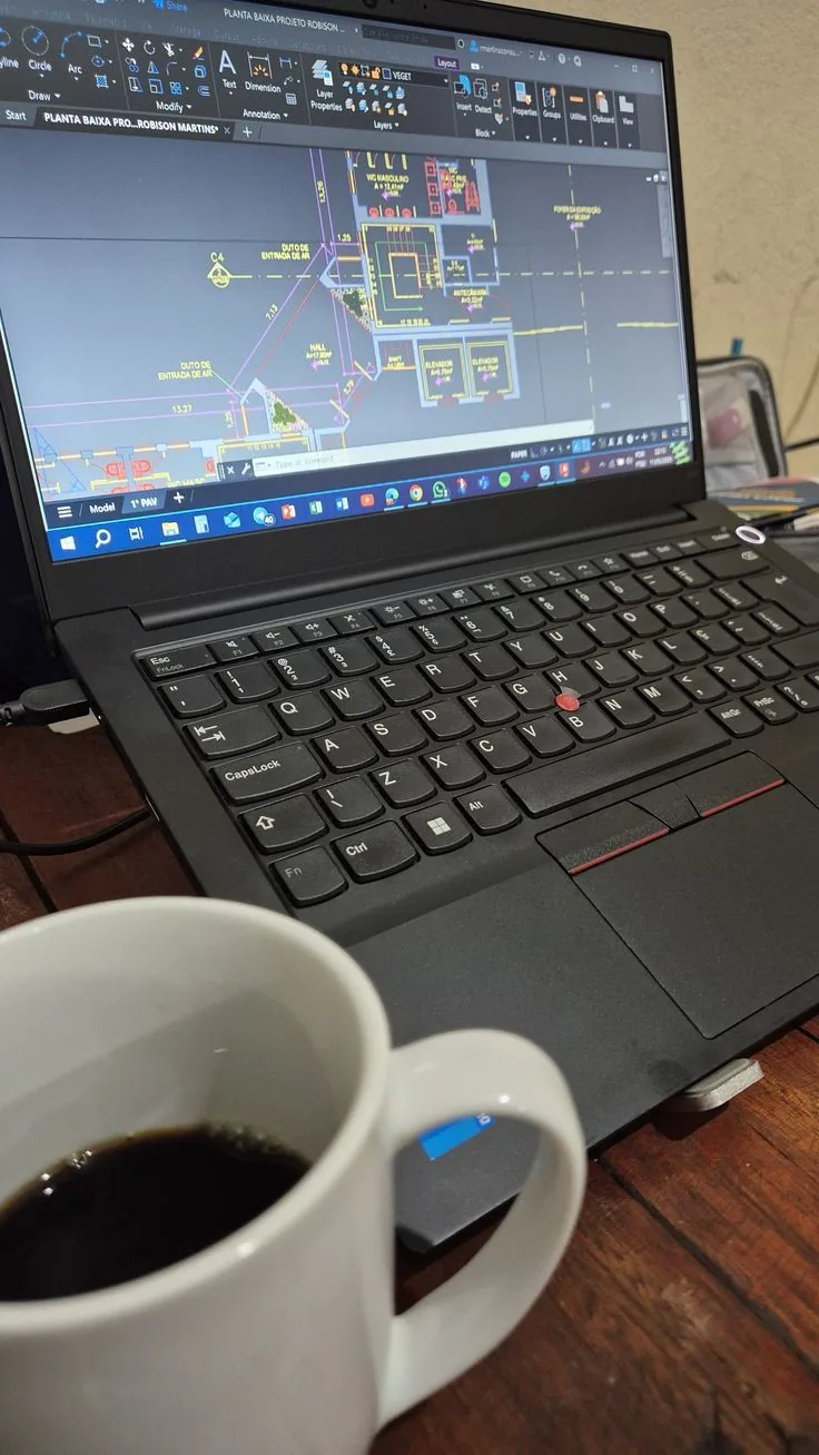
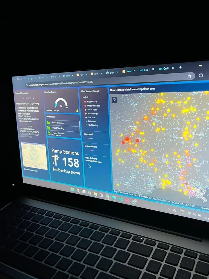
A useful operational twin depends on reliable spatial context. Survey capture, mapped assets, 3D building layers and GIS operations views can provide that context; the examples below illustrate spatial data and workflows that may contribute to a project model.

A typical RASM workflow
- Confirm the building, site or facility use case and the users who need the model.
- Review available BIM/GIS geometry, asset identifiers and operational data sources.
- Agree the data refresh, access roles, map layers and workflow connections for the first release.
- Validate a representative area and its asset records with the facility or operations team.
- Expand by building, floor or asset group after the agreed acceptance checks are met.
RASM questions buyers ask
Does RASM require a Revit model?
Not necessarily. The project can assess available BIM, GIS, drawing and asset data and identify the preparation needed for the chosen use case.
Can the twin use ArcGIS, RTLS or IoT data?
Those sources can be considered when suitable data and interfaces are available. The integration design defines identifiers, update behaviour and data ownership.
Does every digital twin need real-time feeds?
No. A useful first release may combine a spatial model with periodic asset or maintenance updates. Real-time feeds should be added where an operating decision depends on them.
How should a RASM pilot be measured?
Agree a representative area, required data sources, asset-match checks, user tasks and response workflows before the pilot. Evaluate those criteria using the selected site's data.
Tell Us Your Requirement