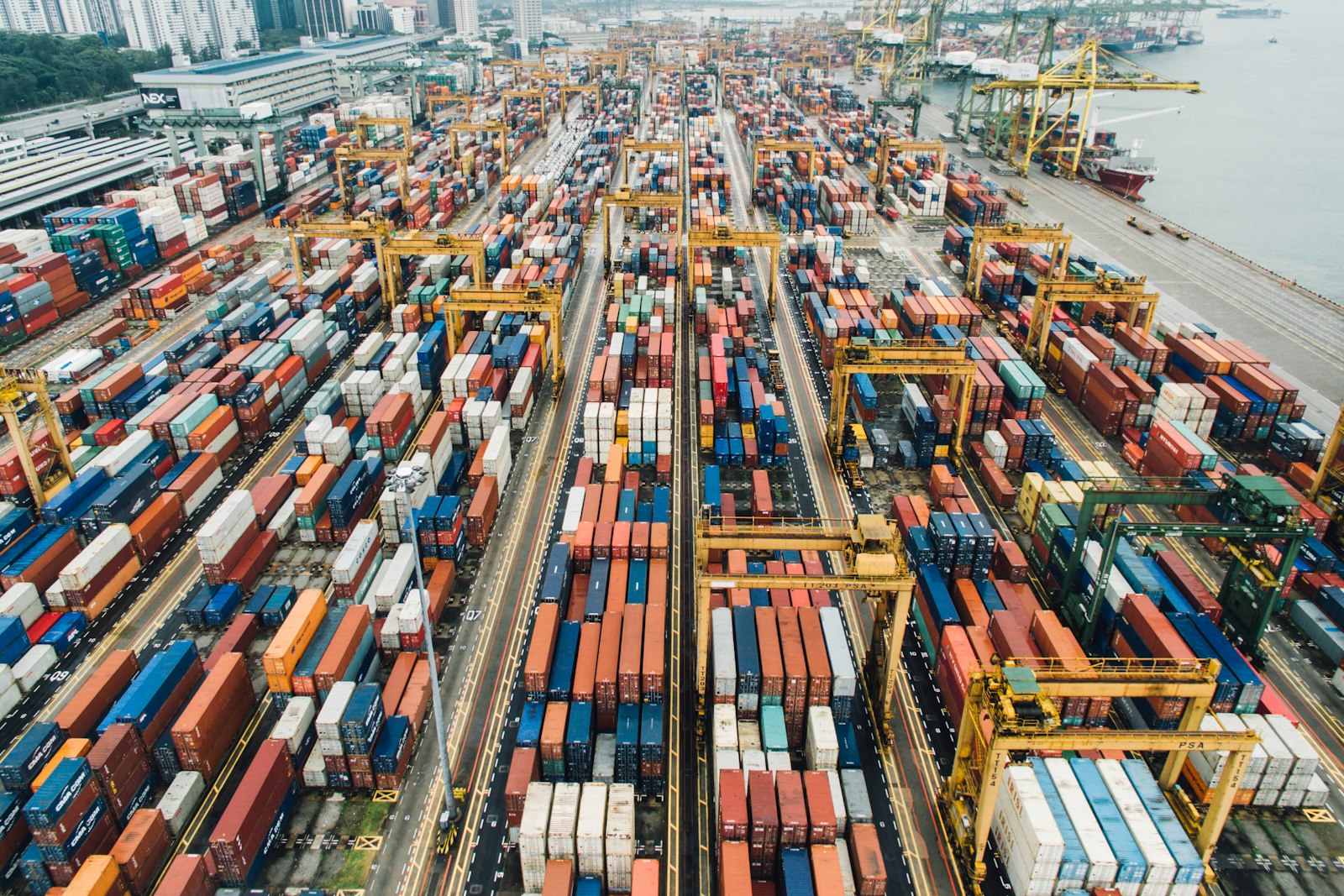
MOWQIE RTLS Tracking Platform for Assets, People & Vehicles
Know where an asset is, not where it was last logged.
MOWQIE brings configured UWB, BLE, GPS and RFID location events into an operational map. Teams can review asset or people positions, geofences, history and alerts, with location sources and integrations selected for the site and use case.

A clearer view of movement across your operation.
Explore illustrative RTLS environments, from warehouse zones to fleet and site-wide location views.
Indoor RTLS for warehouse operations
Review last-known asset positions, zone events and movement context across mapped warehouse areas.
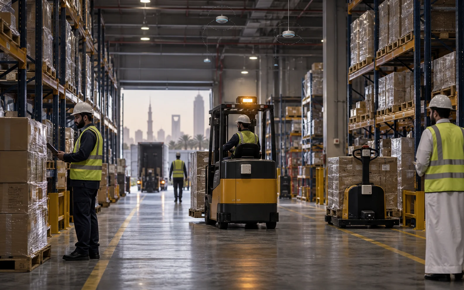
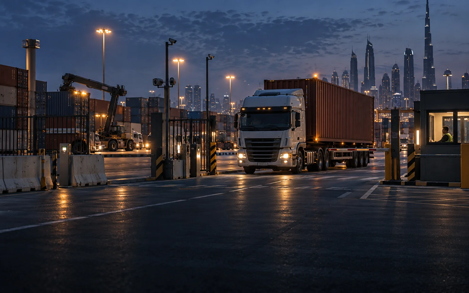
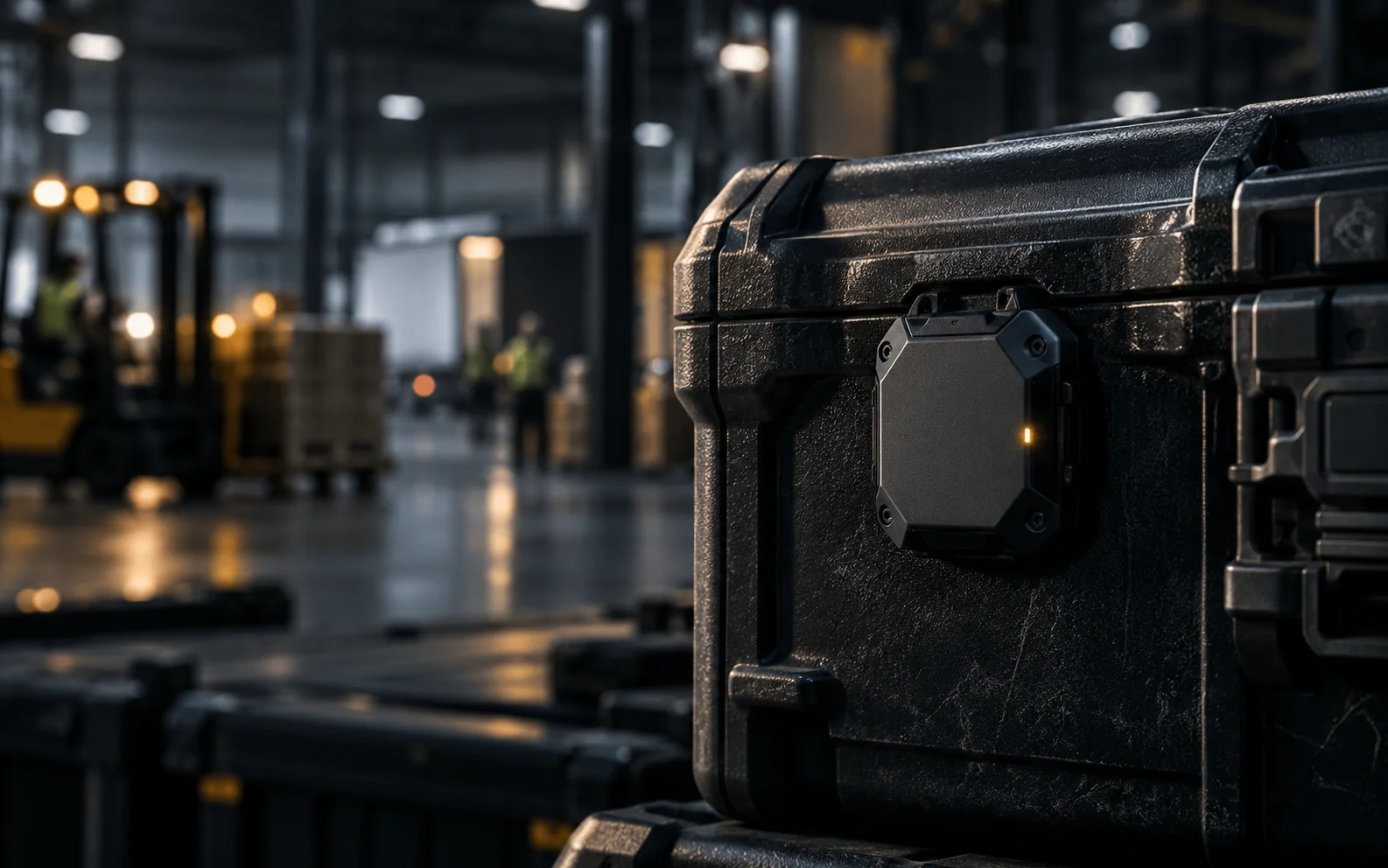

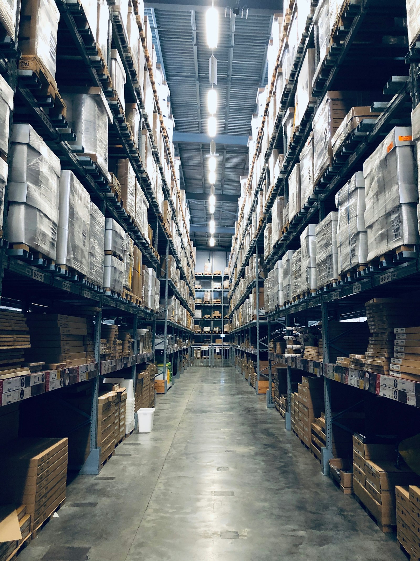
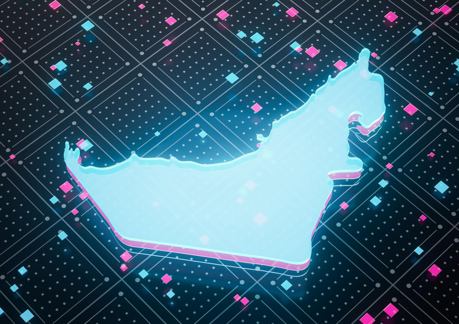
Illustrative photography and interface concepts. Coverage, freshness and accuracy depend on the selected technology, site survey and deployment scope.
MOWQIE – Real-Time Location & Tracking
MOWQIE is a location-operations platform that receives positions and presence events from configured UWB, BLE, GPS and selected RFID infrastructure, then links them to assets, people or vehicles for maps, geofence events, history and analytics.
The project defines the location sources, map or floor-plan layers, freshness rules, user roles and response workflows. Connections to ERP, TMS, GIS, RASM, WMS or incident systems depend on available interfaces and agreed scope.
Platform Capabilities
Location Map
Review reported positions for configured assets, people and vehicles, with status and last-update context.
UWB, BLE, GPS & RFID
Select location sources for indoor, outdoor or read-point visibility according to the environment.
Geofences & Alerts
Configure zones and event rules, then route selected exceptions to the relevant team.
Movement Analytics
Heatmaps, idle time, utilisation and route efficiency dashboards for operations managers.
Fleet & Cargo Context
Review configured trip and movement events, with sensor data included where the project connects it.
Asset & Inventory
High-value equipment, returnable assets, IT hardware — never lose a tagged item again.
Enterprise Integration
Connect location events to ERP, TMS, GIS or maintenance workflows through available interfaces defined in the project design.
Events & Device Health
Review configured location exceptions, last-seen status and device-health signals where available.
Location status and data freshness
A trustworthy location view distinguishes a current position from last-known, stale, outside-coverage or unavailable status. The selected location engine, tag reporting interval and site coverage determine how quickly a position changes; the interface should make that freshness visible to operators.
Operational workflows
Depending on the configured sources and connected systems, teams can use MOWQIE to locate an asset, review movement history, receive a zone-entry alert, find nearby equipment or support muster and maintenance workflows.
For indoor deployments, a survey and pilot establish anchor or locator placement, map alignment, coverage and acceptance measures. Compare BLE, UWB, GPS and RFID options in our RTLS technology guide.
Where MOWQIE is Deployed
MOWQIE questions buyers ask
Does MOWQIE require UWB?
No. The location source is selected for the use case, coverage and required level of detail; a project may use UWB, BLE, GPS or selected RFID events.
Can it show more than one building?
A multi-site, building, floor and zone hierarchy can be defined when the required maps and site data are available.
What if a tag stops reporting?
The interface should distinguish a fresh position from a last-known or stale status and can raise health alerts according to configured thresholds.
Can MOWQIE connect with GIS or ERP?
The integration design can connect supported interfaces and map layers. Data ownership, identifiers and event handling are agreed for each target system.
Tell Us Your Requirement