
Esri and digital twin integration combines spatial context, asset relationships, sensor state, models and operational workflows. The design must clarify whether the twin is a map, 3D model, data graph, simulation environment or operational service, then define identity, time, geometry, version and update ownership. Swedish Technology can shape an ArcGIS-connected twin that supports decisions instead of becoming an ungoverned visual replica.
Swedish Technology connects Esri and digital twin integration to governed identity, reliable data, secure interfaces and measurable operations.
What problem does this solve?
Digital-twin projects can combine data without a stable identity, spatial reference or lifecycle owner.
A 3D or map view may look current while underlying sensor, asset or model data is stale.
Teams may not define which action the twin is expected to improve.
How the solution works
Define the twin’s purpose, entities, relationships, state, time and authoritative sources.
Connect ArcGIS layers, 3D, IoT, BIM and AI outputs with lineage and update rules.
Attach approved insight to field, maintenance, planning or emergency workflows.
- 1Scope Define the business decision, systems, data owners and Esri and digital twin integration boundary.
- 2Map Document identity, spatial or asset relationships, time, quality, permissions and exceptions.
- 3Design Separate source, integration, review, transaction and support controls.
- 4Pilot Test representative data, users, failures, retries and approved actions.
- 5Operate Handover monitoring, security, evaluation, support and change ownership.
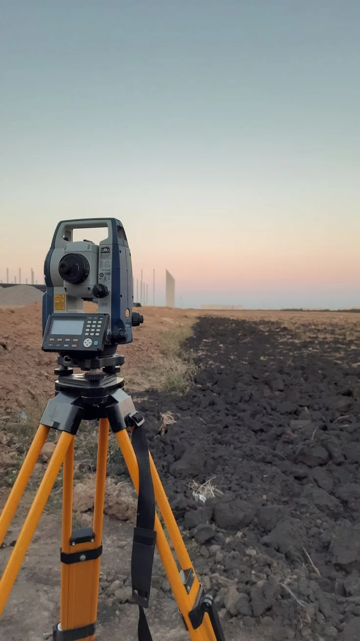
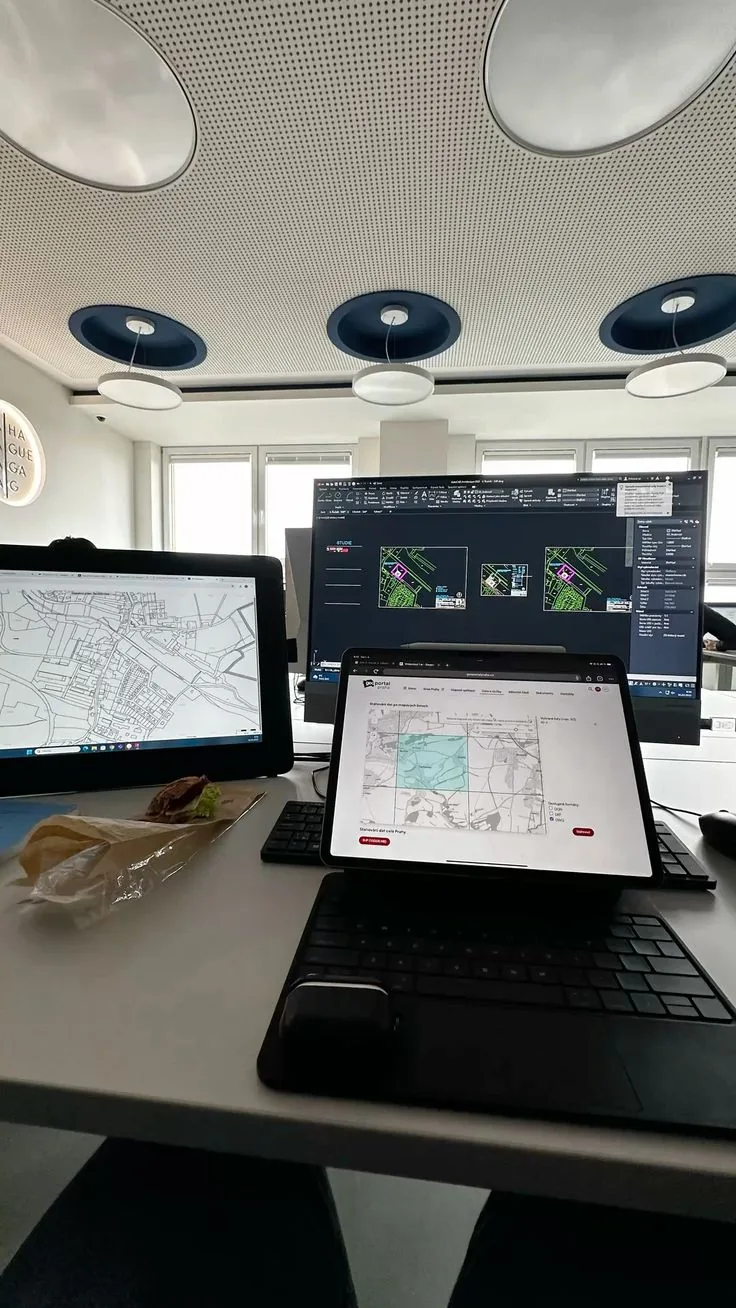
Reference architecture
The reference architecture for Esri and Digital Twin Integration for Spatial Operations separates authoritative source systems, integration and quality controls, approved business actions and operating governance.
| Layer | What it contains |
|---|---|
| Source layer | ERP, EAM, GIS, BIM, IoT, RTLS, digital-twin or operational records with defined ownership. |
| Integration layer | APIs, middleware, event processing, identity mapping, transformation, retries and monitoring. |
| Decision layer | Validation, human review, approvals, workflow, system-of-record action and reconciliation. |
| Operations layer | Security, data quality, support, lifecycle, audit, change and performance controls. |
Deployment options: Deploy on-premise, edge, private cloud or approved public cloud according to data residency, connectivity, security and operating requirements.
Key capabilities
Integrations
Integration should preserve source ownership, permissions, lineage, exception handling and the approved system-of-record action.
| System | Integration point & data exchanged | Direction |
|---|---|---|
| ERP/EAM/GIS | Keep authoritative objects, status and transactions in the owning system. → AI and Digital Twin Integration for Predictive Operations | bi-directional |
| API and middleware | Control identity, schemas, mapping, retries, security and observability. → AI and Esri ArcGIS Integration for GeoAI Workflows | bi-directional |
| BI and operations | Expose quality, freshness, exceptions, usage and business outcomes. → Esri and IoT Integration for Spatial Sensor Operations | bi-directional |
Industry use cases
Smart cities
Combine infrastructure, sensors and scenario analysis.
Facilities
Support space, energy, safety and maintenance decisions.
Industrial sites
Relate plant assets, condition and operational context.
UAE & GCC considerations
For UAE and GCC projects, confirm data residency, Arabic/English operations, identity and access controls, network segmentation, integration security, local support, procurement evidence and handover obligations before deployment.
Implementation approach
- 1Scope Define the business decision, systems, data owners and Esri and digital twin integration boundary.
- 2Map Document identity, spatial or asset relationships, time, quality, permissions and exceptions.
- 3Design Separate source, integration, review, transaction and support controls.
- 4Pilot Test representative data, users, failures, retries and approved actions.
- 5Operate Handover monitoring, security, evaluation, support and change ownership.
Security & deployment
Use least-privilege identities, protected service accounts, segmented networks, approved data boundaries, encryption, audit logs, versioned interfaces, retry controls and tested recovery.
Limitations & prerequisites
- An integration guide cannot replace representative data and user testing.
- Results depend on source quality, identity mapping, timing, environment and operating discipline.
- Vendor API, feature, model and deployment availability must be verified before quotation.
- A synchronised record does not automatically mean a correct business decision until workflow and ownership are validated.
Decision view for Esri and Digital Twin Integration for Spatial Operations
The correct pattern depends on the decision, data, ownership, consequence, integration and lifecycle—not on a connector label alone.
| Decision | Starting point | Validation needed |
|---|---|---|
| Outcome | Define the business decision and owner | Approved acceptance case |
| Identity | Map authoritative objects and relationships | Cross-system reconciliation |
| Automation | Start with controlled review and actions | Failure and rollback test |
| Commercial step | Preliminary architecture | PoC, integration or quotation |
Treat every recommendation as preliminary until assumptions, evidence and ownership are reviewed together.
FAQ
Consistent identity, geometry, relationships, time, state, source and a decision workflow.
It can provide important spatial, 3D and operational capabilities; the complete architecture depends on data and system roles.
Assign source, frequency, version, validation and owner for each twin entity or state.
BIM can provide design and asset structure while IoT supplies condition or state evidence when mapped correctly.
Only when the decision requires it; update frequency should match risk, cost and operational value.
Identity, spatial alignment, state freshness, user decision, integration, security and maintainability.
Need help connecting enterprise systems?
Share the systems, data, users and business decision. We will identify the evidence needed for architecture, PoC, integration or quotation.
Request an Integration AssessmentSources & evidence
- Esri developer documentation — Official ArcGIS developer reference.
- SAP Integration Suite — Official SAP integration context.
- Oracle Integration — Official Oracle integration context.
- Autodesk Platform Services — Official Autodesk platform reference for connected design data.
Vendor and product names are trademarks of their respective owners; references are for technical context and do not imply partnership, certification or endorsement unless stated on the vendor's official pages.