
An Odoo Esri ArcGIS integration connects operational records such as customers, assets, work orders, projects, warehouses or inspections with authoritative geographic data. Octopus Odoo can provide the API, synchronization, identity, reconciliation and dashboard design, while Odoo and ArcGIS remain clearly owned systems. The integration should be selected by use case rather than copying all data into both platforms.
Put the right operational record on the right map with ownership, synchronization and audit intact.
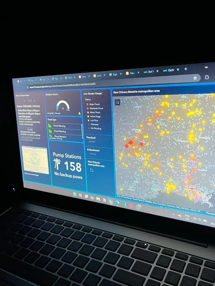
Octopus Odoo في السياق
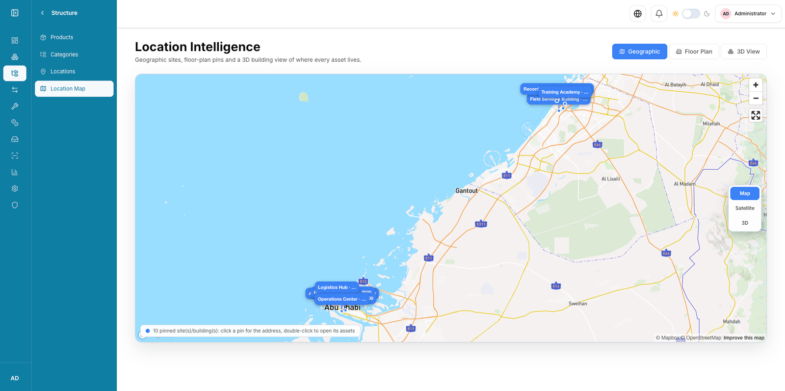
صور توضيحية من مكتبة الوسائط المحلية؛ ليست لقطات شاشة رسمية لإصدار Odoo الحالي.
نطاق المشروع
- Odoo and ArcGIS use-case assessment
- Data ownership and API design
- Pilot synchronization and map workflow
المخرجات المتوقعة
- Integration architecture
- Mapping and reconciliation rules
- Security model
- Pilot and support runbook
المدة التقديرية
Indicative only.
- Data and API discovery
- Pilot connector
- Scale and support
المتطلبات والتبعيات
- Odoo and ArcGIS owners
- API and sample data access
- Approved geospatial security model
معايير القبول
- Ownership and keys are approved
- Sync and failure cases reconcile
- Map/workflow permissions pass tests
- Support monitoring is accepted
اعتبارات الإمارات والخليج
For UAE and GCC GIS programs, include data residency, government geospatial policy, Arabic labels, secure connectivity, field devices and location-data access in the design.
الخطوة التالية
نراجع وثيقة المتطلبات والبيئة الحالية ونحوّلها إلى خطة تنفيذ وقبول واضحة.
اطلب تقييمًا فنيًا