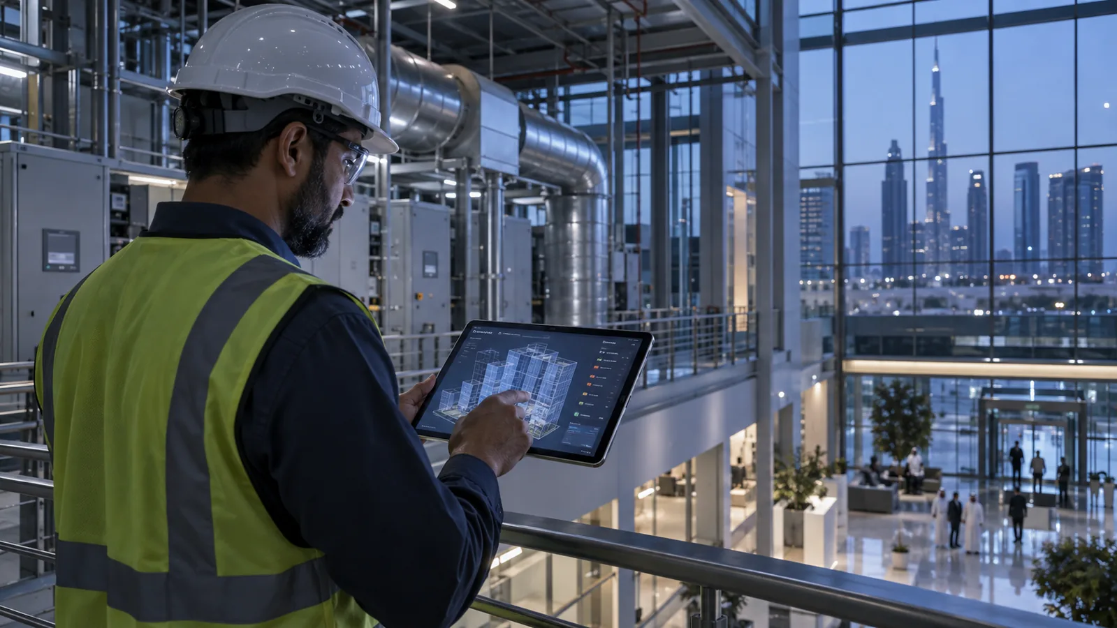
Digital Twin Solutions in the UAE: From 3D Model to Live Operations
A digital twin is a spatial model of a physical asset, building, warehouse or city that is continuously updated with operational data, so teams can see current state, receive alerts and test changes before making them. Swedish Technology builds operational digital twins by combining BIM, point cloud and GIS geometry with IoT, BMS, CMMS, RFID and RTLS feeds, delivered on its RASM platform.
Key facts
- A 3D model becomes a digital twin only when it is linked to live or regularly refreshed operational data.
- IFC (ISO 16739) is the open, vendor-neutral exchange format for BIM geometry and properties.
- COBie is a structured handover dataset listing spaces, systems, assets, warranties and maintenance data.
- MQTT feeds typically deliver sub-second to few-second updates; BMS polling via BACnet or Modbus is commonly seconds to minutes.
- Terrestrial LiDAR commonly reaches millimetre-to-centimetre accuracy; drone photogrammetry is typically centimetre-level, depending on control points.
- OT networks feeding a twin should be segmented from IT, following zone-and-conduit models such as IEC 62443.
In short
Most organisations already hold the ingredients of a digital twin: BIM or CAD from construction, GIS layers, a BMS, a CMMS and a growing number of sensors. The problem is that each sits in its own system, and nobody sees the combined picture in one place, tied to a physical location.
This page explains how to decide what kind of twin you need, what data it has to consume, how live it must be, and how to run a pilot with measurable acceptance criteria. RASM is Swedish Technology's digital twin platform; this hub covers the category and the decisions that come before choosing any platform.
Digital twin maturity ladder
Level 1: Descriptive model
A 3D or BIM model with asset identities and static attributes. Useful for navigation, space data and handover records.
Level 2: Connected
Live or periodic data from sensors, BMS, RTLS or RFID is mapped to assets and spaces, showing current state in context.
Level 3: Operational
Alerts, rules and workflow integration with CMMS or ERP. The twin creates work orders and tracks their closure.
Level 4: Predictive
Historical data and models forecast failures, energy use or congestion, so teams act before problems appear.
Level 5: Prescriptive and autonomous
The twin recommends or, within approved limits, executes actions such as setpoint changes, with human oversight and audit trails.
What makes a digital twin live
A twin is only as current as its slowest important feed. Define for each data source how often it must update and how old data can be before it is flagged as stale.
Not everything needs real time: alarms may need seconds, while maintenance history can refresh daily.
Data feeds
Sensors via MQTT or OPC UA, BMS points via BACnet or Modbus, location from RTLS and RFID, and records from CMMS and ERP through REST APIs.
Update frequency
Set per feed: event-driven for alarms and RFID reads, polling for BMS points, scheduled sync for work orders and inventory.
Latency budget
Measure time from physical event to on-screen change. Alarms commonly target a few seconds; reporting data tolerates minutes or more.
Stale data handling
Every value carries a timestamp. The twin should visibly mark sensors that have stopped reporting rather than show an old value as current.
Simulation and what-if
Test changes before making them: rack layouts, evacuation routes, HVAC setpoint changes, flood or heat scenarios, or equipment outages and their knock-on effect.
Alerts and workflow actions
Threshold and rule-based alerts open a CMMS work order, notify a team or trigger a camera view, so the twin drives action instead of just displaying it.
Industries using digital twins
Facilities and real estate
Towers, campuses and mixed-use developments linking BMS, CAFM and space data for maintenance and occupancy management.
Warehouses and logistics
3D views of racks, stock and vehicles fed by WMS, RFID and RTLS for inventory visibility and safety.
Cities and municipalities
Shared geospatial twins of roads, lighting, drainage, parking and environmental sensors for planning and incident response.
Utilities
Networks of pipes, cables and substations combined with SCADA-derived status and GIS to plan maintenance and outage response.
Construction
Progress captured by scans or drones compared against the BIM schedule, then handed over as the operational twin.
Airports and ports
Terminals, gates, cranes and yards with asset status, passenger or container flow and equipment location.
Connectors: what a digital twin exchanges with other systems
Integration is usually the largest share of effort. Each connector should have a named data owner, a defined direction of data flow and an agreed refresh rate.
BIM / IFC
Geometry, element GUIDs, spaces, systems and property sets imported from IFC or Revit, with change tracking between model versions.
ArcGIS
Feature layers, basemaps, utility networks and scene layers such as I3S; the twin can read and write features for spatial analysis.
IoT / MQTT
Sensor telemetry for temperature, humidity, air quality, occupancy, leaks and energy, subscribed through topics from a broker or gateway.
BMS via BACnet / Modbus
HVAC, lighting, pumps and meter points read through a gateway; write-back to setpoints only where approved and controlled.
CMMS / CAFM
Asset registers, work orders, preventive maintenance schedules and history, such as from IBM Maximo or other CAFM systems.
RFID
Read events for tagged assets, stock and tools, showing last-seen location and movement through gates or zones.
RTLS
Continuous positions of people, vehicles and equipment from UWB or BLE systems, used for location, geofencing and safety zones.
ERP
Asset financial data, inventory, purchase orders and cost centres from SAP, Oracle or Odoo, linked to physical assets.
REST and webhooks
Generic APIs for systems without a standard connector, and outbound events to notify other applications.
Data governance, security and hosting
Ownership: agree who owns the geometry, each data feed and the derived analytics, and who can change them. Contracts should state that the owner can export models and data in open formats.
Level of detail: define the required LOD per asset class. Operations rarely need fabrication-level geometry, but it does need correct asset identifiers, locations and key attributes. Heavy models slow down the twin without adding value.
Open standards: IFC, COBie, OGC formats such as CityGML and 3D Tiles, and semantic schemas such as Brick or Project Haystack reduce lock-in and make future platform changes possible.
Hosting: on-premise or private cloud suits sites with strict data-residency or classified information; public cloud in a UAE region suits multi-site programmes that need elastic compute. Hybrid designs keep OT data on site and share summaries upward. Compliance with requirements such as UAE IA or NESA, DESC in Dubai, TDRA and PDPL depends on project configuration and approvals.
Cybersecurity: keep OT networks (BMS, PLCs, SCADA) segmented from IT using a DMZ and one-way or read-only gateways where possible. Use role-based access, encrypted transport, audit logs and a documented process for any write-back to control systems. Floor plans and asset locations are sensitive data in their own right.
Key components
BIM, IFC and Revit
Best source for new or recently built assets. Provides elements, systems and properties; quality depends on how well the as-built model was maintained.
Point cloud and LiDAR
Captures existing conditions accurately where drawings are missing or outdated. Needs processing and often scan-to-BIM modelling to become usable.
Photogrammetry
Drone or ground imagery turned into textured meshes. Cost-effective for sites, facades, roofs and outdoor areas; less suited to detailed indoor MEP.
GIS
Provides the geographic frame for campuses and cities: parcels, roads, utility networks and terrain, commonly from ArcGIS or other OGC-compliant sources.
Where this is used in the UAE and the GCC
Asset lifecycle and handover
Contractors deliver IFC models and COBie data at handover, so facility teams start with a populated asset register instead of re-surveying the building.
Maintenance in context
Technicians see an alarm, the asset's location, its work-order history and nearby equipment in one view, reducing time spent finding assets.
Warehouse operations
RFID and RTLS data on a 3D warehouse model show stock location, forklift movement and congestion, supporting layout and slotting decisions.
Energy and comfort
BMS and meter data mapped to floors and zones highlight spaces that are over-cooled, unoccupied or consuming outside expected patterns.
How a project runs
Assess
Define the operational questions the twin must answer and the users. Output: prioritised use cases and target maturity level.
Discovery and survey
Audit available BIM, CAD, GIS and systems; scan or survey where data is missing. Output: data inventory and gap list.
Design
Data model, asset naming, LOD, connector list, latency targets and hosting architecture. Output: solution design and integration specification.
Pilot
One building, floor or zone with a limited set of feeds and measurable acceptance criteria. Output: pilot report and go or no-go decision.
Deploy
Roll out geometry and connectors across sites in phases. Output: production twin with user roles configured.
Integrate workflows
Connect alerts to CMMS, ERP and notification channels. Output: closed-loop processes from alert to work order.
Operate and support
Monitor feed health, update models after changes and train users. Output: maintained twin that stays accurate.
3D visualisation, BIM viewer, dashboard or digital twin: which do you need?
| Option | Best fit when… | Limitations | Typical environment |
|---|---|---|---|
| 3D visualisation | You need a static model for marketing, design review or stakeholder presentations. | No live data, no asset identity, becomes outdated as soon as the site changes. | Sales centres, design competitions, master-plan presentations |
| BIM viewer | Designers and contractors need to inspect geometry, clashes and element properties. | Design-stage data; rarely linked to sensors, work orders or operational history. | Construction projects, design coordination, handover review |
| Operational dashboard | You need KPIs and trends from one or two systems quickly. | No spatial context; hard to see where a problem is or what else is affected nearby. | Energy reporting, warehouse KPIs, control room summaries |
| Operational digital twin | You need live asset state, alerts and work orders in their exact 3D location across several systems. | Needs clean asset registers, integration effort and data ownership agreed upfront. | Facilities, warehouses, hospitals, campuses, plants, airports |
| City digital twin | Multiple agencies need a shared geospatial view of infrastructure, mobility and environment. | Large data volumes, many owners, governance and security complexity. | Municipalities, master developers, free zones, utilities networks |
Risks and common mistakes
Starting with the 3D model instead of the use case
Decide which decisions the twin must support first; then model only what those decisions need.
Inconsistent asset IDs across systems
Agree one asset identifier scheme and map BIM GUIDs, CMMS IDs and tag IDs to it before integration.
Treating the twin as a one-off project
Budget for model updates after renovations and for monitoring feed health, or the twin drifts from reality.
Uncontrolled write-back to OT systems
Start read-only. Add setpoint control only with approvals, interlocks and logging.
What to check before you commit
- List of operational questions and KPIs the twin must support
- Available BIM, CAD, GIS and scan data, with dates and known accuracy
- Asset register and naming convention, or agreement to create one
- Inventory of systems to connect: BMS, CMMS, ERP, IoT, RFID, RTLS, CCTV
- Protocols, API documentation and access contacts for each system
- Network diagram showing OT and IT segments and permitted connections
- Hosting preference and data-residency or classification requirements
- Named data owners and the team that will operate the twin
- Pilot area selection and success criteria
Pilot / proof of concept
A pilot typically covers one building, floor, warehouse zone or district block, with three to five data feeds and two or three use cases. It commonly runs for 6–12 weeks, depending on data readiness and access to source systems.
Acceptance criteria are agreed before work starts and measured against the live pilot, not a demonstration dataset.
Geometry accuracy
Sample asset positions in the twin are checked against site measurement within an agreed tolerance.
Data completeness
Percentage of in-scope assets correctly linked to their live feeds and CMMS records.
End-to-end latency
Time from a triggered physical event to on-screen change and alert, measured over repeated tests.
Feed reliability
Uptime of each connector over the pilot period, with stale data correctly flagged.
Workflow closure
Alerts that create work orders in the CMMS and are tracked to completion without manual re-entry.
What drives the cost
Cost is driven less by the 3D model and more by data readiness and the number of systems to integrate. A site with a maintained BIM and a documented BMS costs far less to twin than one needing a full survey.
Geometry capture
Existing usable BIM versus laser scanning, photogrammetry or scan-to-BIM modelling.
Area and asset count
Floor area, number of buildings and number of assets that need identities and attributes.
Number of connectors
Each BMS, CMMS, ERP, IoT or tracking system adds mapping, testing and maintenance effort.
Data quality
Cleaning asset registers and reconciling IDs across systems is often underestimated.
Hosting model
On-premise hardware, private cloud or public cloud, and the security controls each requires.
Simulation and analytics depth
Visual what-if scenarios cost less than engineering-grade simulations or predictive models.
Licensing and support
User numbers, sites, update frequency of models and the level of ongoing support.
Questions buyers ask
What is a digital twin in simple terms?
A digital twin is a 3D or map-based model of a real asset, building, warehouse or city that is connected to data from that place. It shows current conditions, such as temperatures, alarms, stock or equipment location, in the right position, and lets teams test changes before making them. Without live or regularly refreshed data, it is a 3D model rather than a twin.
What is the difference between BIM and a digital twin?
BIM is a design and construction model with geometry and properties, mainly used before handover. A digital twin uses BIM, or scans and GIS, as its geometry, then links it to operational systems such as BMS, CMMS and sensors. BIM describes how the building was designed and built; the twin shows how it is performing now.
Do I need a BIM model to build a digital twin?
No. BIM is the easiest starting point for newer buildings, but older sites can use laser scanning, photogrammetry or 2D CAD plans extruded into 3D. The level of detail should match the use case: many operational twins need correct spaces and asset locations more than detailed geometry.
How real-time is a digital twin?
It depends on the data source. MQTT sensors and RTLS can update within seconds, BMS points polled through BACnet or Modbus typically refresh every few seconds to minutes, and CMMS or ERP data often syncs every few minutes to daily. Latency targets should be set per use case during design.
Can a digital twin connect to our existing BMS?
Usually yes, through a gateway that reads BACnet or Modbus points or through the BMS vendor's API. The first step is a points list and network review. Integration commonly starts read-only; writing setpoints back to the BMS should only be enabled with approvals and security controls.
What is COBie and why does it matter for a digital twin?
COBie is a structured dataset delivered at handover that lists spaces, systems, assets, manufacturers, warranties and maintenance information. When contractors deliver it with the IFC model, the digital twin and CMMS can be populated with asset data from day one instead of through a separate survey.
Should a digital twin be hosted on-premise or in the cloud?
Both work. On-premise or private cloud suits sites with sensitive layouts, OT data or strict data-residency rules. Cloud hosting in a local region suits multi-site programmes. Many projects use a hybrid model with OT connectors on site. Regulatory fit depends on project configuration and approvals.
Is a digital twin a cybersecurity risk?
It can be if OT systems are exposed. Good practice is to segment BMS and control networks from IT, use read-only gateways where possible, encrypt connections, apply role-based access and log every change. Asset locations and floor plans should be treated as sensitive information.
What is a city digital twin?
A city digital twin combines GIS, 3D city models, infrastructure networks and sensor data such as traffic, lighting, air quality and drainage in one shared view. Municipal teams use it for planning, maintenance and incident response. Governance across multiple data owners is usually harder than the technology.
How long does a digital twin pilot take?
A focused pilot on one building or zone with a few data feeds typically takes 6–12 weeks, depending on the quality of existing models and access to source systems. Missing BIM, undocumented BMS points or slow access approvals are the most common causes of delay.
What is RASM?
RASM is Swedish Technology's digital twin platform. It brings BIM, GIS and scan geometry together with IoT, BMS, CMMS, RFID and RTLS data for operational monitoring, alerts and what-if analysis. This page covers digital twins as a category; the RASM page describes the platform itself.

Digital Twin
The PDF is a shareable summary of the RASM digital twin platform for internal stakeholders and procurement teams.
Related solutions
- RASM digital twin platform
- 3D digital twin for safety
- Digital twin for facilities, warehouses and cities
- GIS digital twin for buildings and cities
- BIM and GIS integration for asset management
- LiDAR 3D mapping and point cloud processing
- Drone mapping and photogrammetry
- IoT platform for smart buildings
- IoT and digital twin integration
- Esri digital twin integration
- BIM to GIS integration
- AI and digital twin integration
- Facility management
- GIS solutions
- RTLS solutions
- RFID solutions
- SAIF cybersecurity
Plan a digital twin pilot
Share your available models, systems and the operational questions you need answered. We will review data readiness and propose a pilot scope with acceptance criteria.
Request a PoC Request pricing or a BoQ Browse the Resource Centre