
An Odoo Esri ArcGIS integration connects operational records such as customers, assets, work orders, projects, warehouses or inspections with authoritative geographic data. Octopus Odoo can provide the API, synchronization, identity, reconciliation and dashboard design, while Odoo and ArcGIS remain clearly owned systems. The integration should be selected by use case rather than copying all data into both platforms.
Put the right operational record on the right map with ownership, synchronization and audit intact.
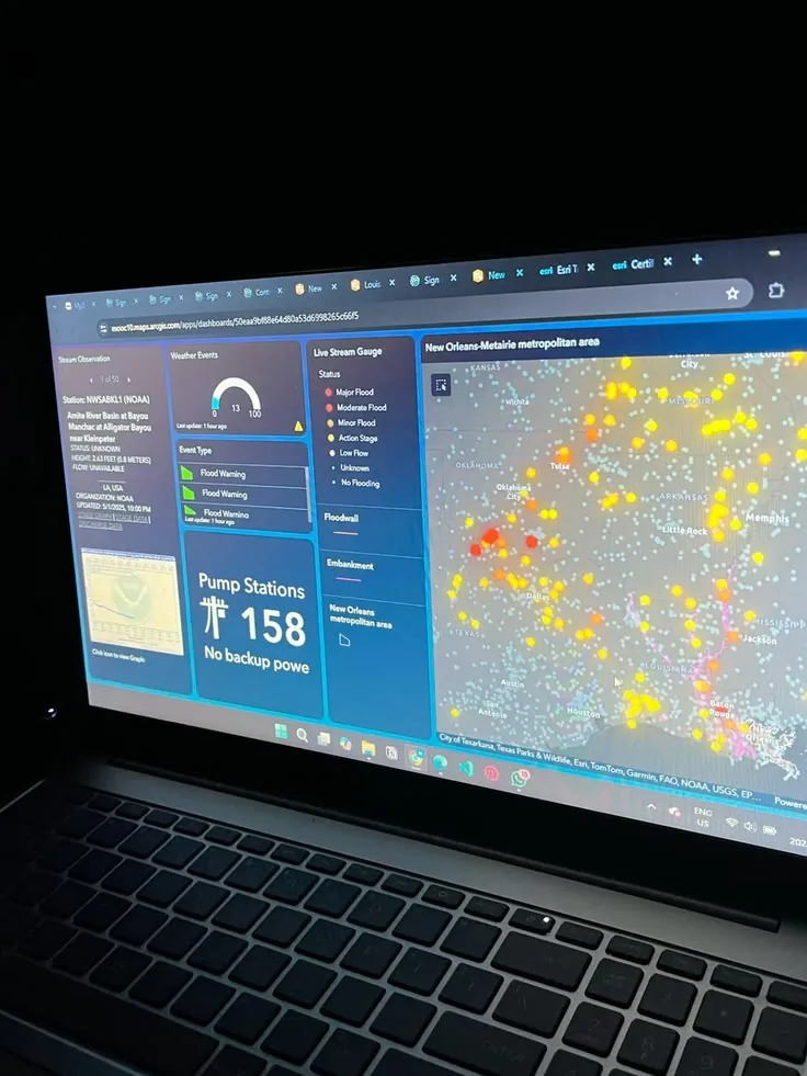
Octopus Odoo in context
Contextual visuals from the local media library; these are not official Odoo screenshots.
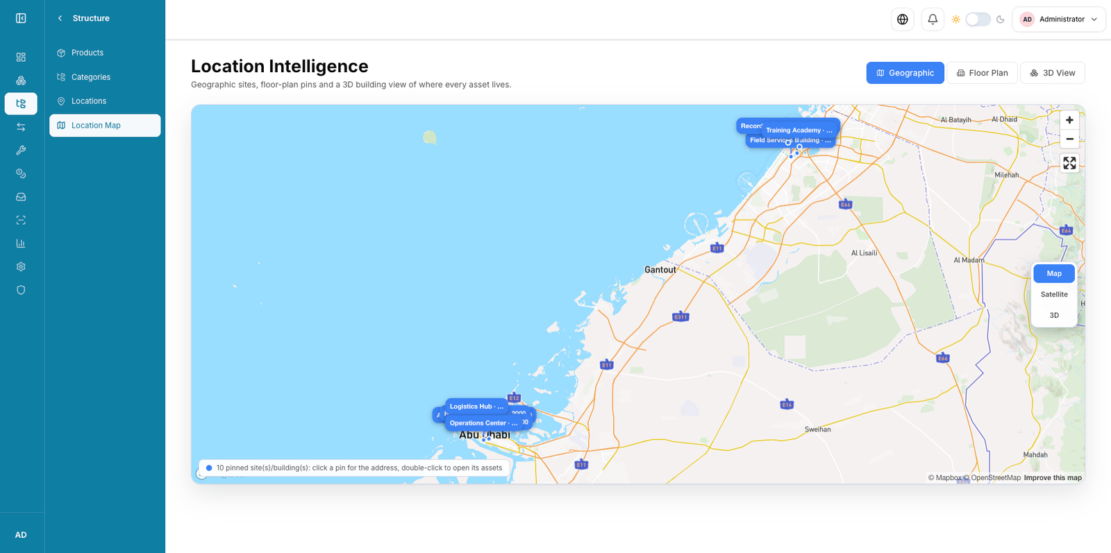
Project scope
- Odoo and ArcGIS use-case assessment
- Data ownership and API design
- Pilot synchronization and map workflow
Expected deliverables
- Integration architecture
- Mapping and reconciliation rules
- Security model
- Pilot and support runbook
Indicative delivery time
Indicative only.
- Data and API discovery
- Pilot connector
- Scale and support
Dependencies and buyer inputs
- Odoo and ArcGIS owners
- API and sample data access
- Approved geospatial security model
Acceptance criteria
- Ownership and keys are approved
- Sync and failure cases reconcile
- Map/workflow permissions pass tests
- Support monitoring is accepted
UAE & GCC considerations
For UAE and GCC GIS programs, include data residency, government geospatial policy, Arabic labels, secure connectivity, field devices and location-data access in the design.
Next step
We review the requirements and current environment, then turn them into a clear delivery and acceptance plan.
Request a technical assessment