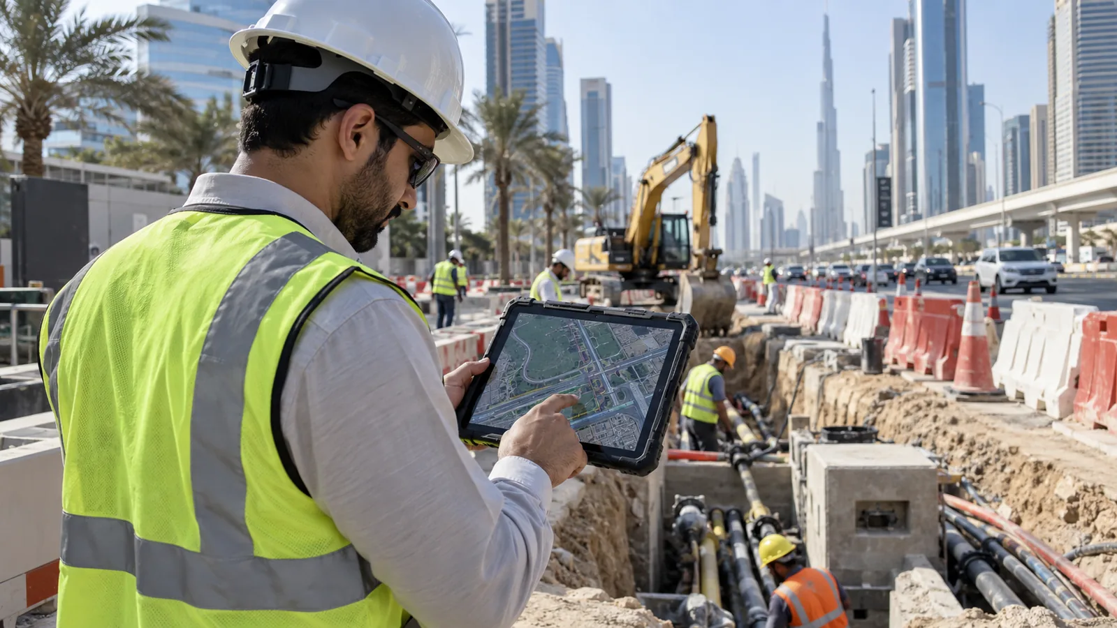
RoadSurface Mapper | Hardware Product Concept
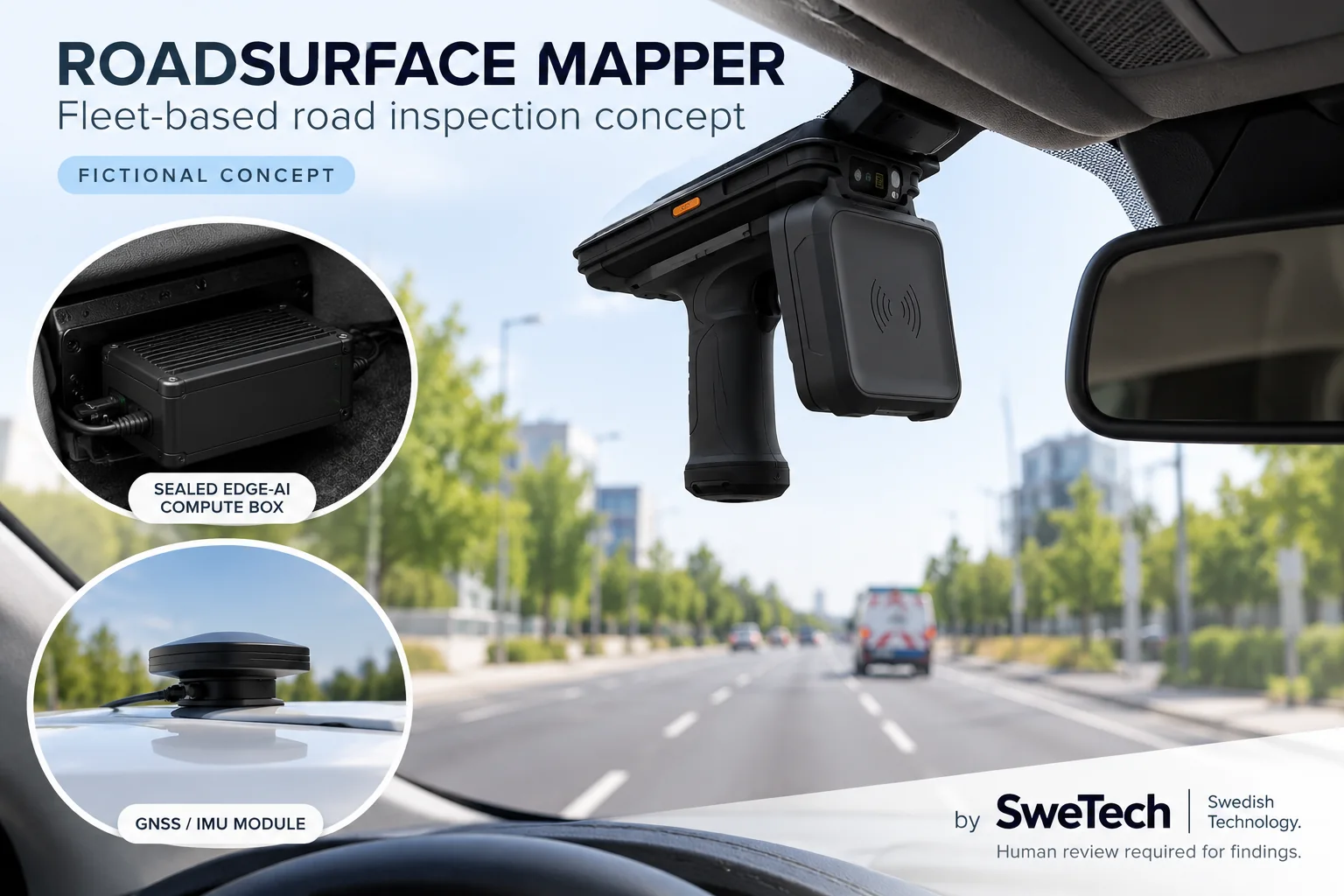
RoadSurface Mapper
Fleet vehicles become continuous road-inspection sensors while driving normal routes.
Designed for Municipal fleets. Source profile: Idea / Research; feasibility: High; prototype complexity: Medium.
Project text and technical scope
Problem addressed
Current Municipal / Roads workflows often depend on manual checks, disconnected devices and delayed evidence.
Product vision
Fleet vehicles become continuous road-inspection sensors while driving normal routes.
Hardware platform
Roof/windshield camera + GNSS + IMU + edge AI box
Sensors and inputs
Road video, GNSS, vibration
AI and software
Pothole/crack/sign detection
User workflow
Municipal fleets use the device in-field; the system captures data, analyses it, requests human confirmation where needed and records the outcome.
Edge processing
Run latency/privacy-critical inference on device/edge; use server for fleet analytics, RAG, orchestration and reporting.
Connectivity
4G/5G
Mobile experience
Device pairing, live status, guided workflow, alerts, evidence review, offline sync and user actions.
Operations console
Fleet/device map, live events, health, incident queue, analytics, reports, configuration and audit history.
Safety and compliance
Image privacy and public-record rules may apply.
Operational value
Hardware + analytics; value comes from measurable safety, traceability, downtime reduction or workflow automation.
Security and privacy
Secure device identity, encrypted transport/storage, RBAC, audit logs, minimum necessary personal data and configurable retention.
Commercial model
Hardware + analytics
Differentiation
Turns ordinary fleet miles into inspection coverage.
Demo scenario
Show a realistic operator using RoadSurface Mapper; capture sensor/device event → AI analysis → alert/recommendation → human action → report.