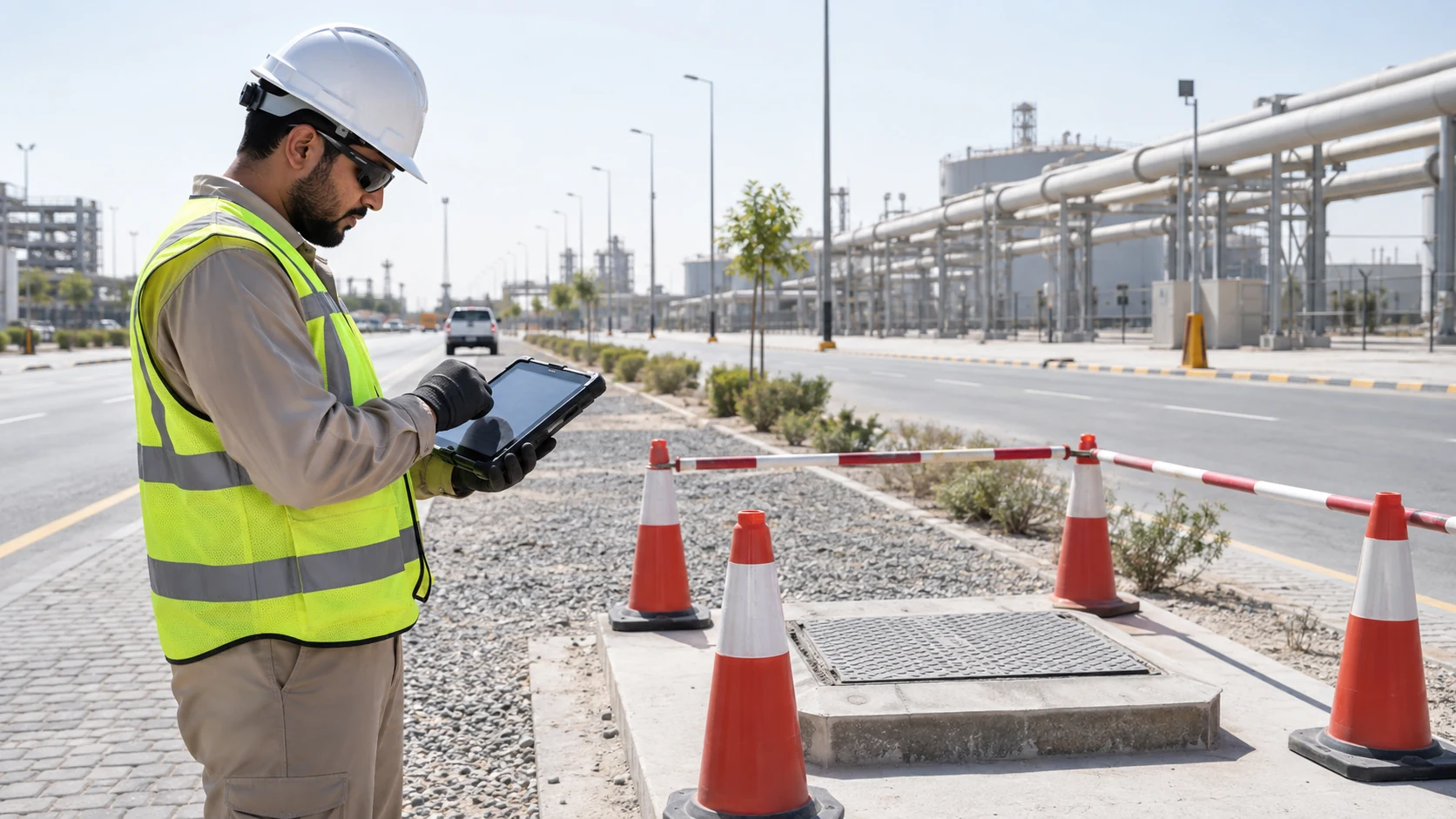
In short: In this scenario, inspectors record the condition of pipes, valves, poles and chambers directly on the GIS map with photos, a condition score builds up for each asset, and poor-condition assets are handed to maintenance with location and evidence.
Tell Us Your Requirement Talk to an engineer
This is a solution scenario: it shows how a typical deployment works for this kind of organisation. It is not a description of a specific client project, and it contains no client results.
Scenario at a glance
| Typical organisation | Industrial estate or utility operator |
|---|---|
| Sector | Utilities / industrial estates |
| Problem | Inspections on paper; asset condition unknown between visits |
| Core technologies | Enterprise GIS, mobile inspection apps, photo evidence, condition scoring |
| Hosting | On-premises, UAE-region private cloud or hybrid, depending on data rules |
The situation
Utility assets across an industrial estate are inspected on paper forms. Results are typed up later, locations are approximate, and nobody can see condition trends across the network.
How it works
- Asset layers are checked and inspection forms defined per asset type.
- Inspectors use a mobile app with offline maps and photo capture.
- Each inspection updates the asset's condition in the GIS.
- Supervisors review results on a dashboard and approve maintenance.
- Work orders go to the maintenance system with location and photos.
What the solution includes
- Utility chambers
- Pipes
- Electrical assets
- Streetlights
- Drainage
- Fire systems
- Inspection routes
- Defect photographs
- Maintenance history
What a pilot should measure
Results depend on the site. These are the measures a pilot should agree up front and report honestly:
- Inspections completed per week
- Assets with a current condition score
- Time from poor-condition finding to work order
UAE considerations
- Heat affects field work schedules; plan inspection windows.
- Keep asset data on-premises where the operator requires it.
Questions buyers ask
Can inspectors work without signal?
Mobile GIS apps can work offline and synchronise later; confirm this in the scoping.
Can it connect to our maintenance system?
Yes, through an integration that creates work orders from confirmed findings.
Is AI needed?
Not for the first step. AI image analysis can be added later for specific defect types.
Related
GIS solutions · GIS mobile field inspection apps · Smart inspection AI · All solution scenarios
Planning something similar?
Tell us about your site and systems. We will scope a pilot for GIS utility asset inspection and say plainly what it can and cannot prove.
Tell Us Your Requirement