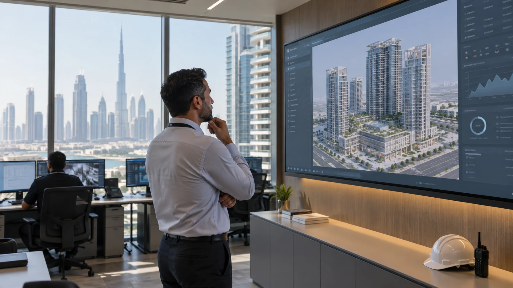
In short: In this scenario, floor plans, assets and live data from building systems are combined into one indoor map and digital twin, so facilities, security and operations teams see where things are and what is happening on the same screen.
Tell Us Your Requirement Talk to an engineer
This is a solution scenario: it shows how a typical deployment works for this kind of organisation. It is not a description of a specific client project, and it contains no client results.
Scenario at a glance
| Typical organisation | Mixed-use development operator |
|---|---|
| Sector | Real estate / facilities |
| Problem | Floor plans, assets and live systems in separate tools; slow incident response |
| Core technologies | Indoor GIS, BIM or CAD floor plans, IoT and security integrations, 3D viewer |
| Hosting | On-premises, UAE-region private cloud or hybrid, depending on data rules |
The situation
Large developments manage retail, residential and office spaces with separate systems for maintenance, security and building management. During an incident, teams switch between tools and paper plans.
How it works
- Floor plans from BIM or CAD are converted into indoor GIS layers.
- Assets, rooms and zones are linked to maintenance records.
- Live data from sensors, alarms and cameras is connected.
- Teams use one map for search, work orders and incidents.
- More buildings and data sources are added once the first use case is in daily use.
What the solution includes
- Indoor GIS
- 2D/3D maps
- Building digital twin
- Asset layers
- Space management
- Work-order mapping
- Wayfinding
- Emergency layers
- BIM/GIS integration
What a pilot should measure
Results depend on the site. These are the measures a pilot should agree up front and report honestly:
- Time to locate an asset or room during an incident
- Work orders created from the map
- Data sources connected and kept current
UAE considerations
- Critical sites usually require on-premises hosting.
- Arabic and English labels for operations teams.
Questions buyers ask
Do we need BIM?
No. CAD floor plans or scans can start the indoor model; BIM adds detail where it exists.
What is the difference from a normal floor plan viewer?
The twin connects live data and work processes to the plan, so it shows current state, not just layout.
Can it run on-premises?
Yes, for sites where data must stay inside the organisation's network.
Related
Digital twin solutions · RASM digital twin platform · Digital twin vs BIM compared · All solution scenarios
Planning something similar?
Tell us about your site and systems. We will scope a pilot for indoor GIS and digital twin and say plainly what it can and cannot prove.
Tell Us Your Requirement