The problem it solves
City teams operate across maps, sensors, cameras and work-order systems that rarely share one operational picture. GeoAI connects location with condition, risk and action.
Loading
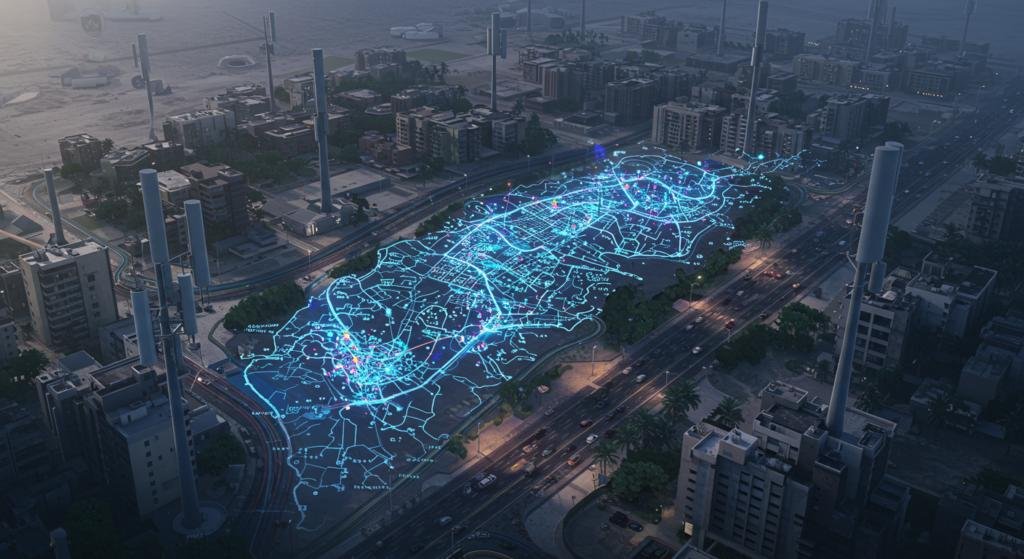
GIS, IoT, computer vision and digital-twin intelligence for municipalities, utilities, roads and infrastructure operators.
GIS, IoT, computer vision and digital-twin intelligence for municipalities, utilities, roads and infrastructure operators.
City teams operate across maps, sensors, cameras and work-order systems that rarely share one operational picture. GeoAI connects location with condition, risk and action.
Municipalities, utilities, roads authorities, telecom operators, emergency services and infrastructure owners.
Module status is an initial portfolio planning label, not a promise of general availability.
Smart-city data and operations workspace.
Open familyGIS intelligence for spatial analysis and infrastructure planning.
Open familyUrban monitoring and city-signal aggregation.
Open familyInfrastructure asset, condition and maintenance intelligence.
Open familyComputer vision and GIS workflow for road-condition evidence.
Open familyMap / sensor / camera / asset → spatial data services → GeoAI and rules → work order / command centre → audit and public-facing output.
On-premises, private cloud or hybrid geospatial architecture with role-based services and local data controls.
No. It can extend an existing GIS with integration, automation, GeoAI workflows and operational interfaces.
No. The confirmed Esri partnership is separate from customer licensing, product entitlements and the agreed delivery scope.
Start with a defined scope, real data and measurable acceptance criteria.